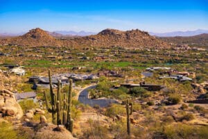
Introduction
A survey is a broad measurement and mapping of land, while a boundary survey focuses specifically on locating the exact property lines and corners of a parcel. In short, surveys show what’s on the land, and boundary surveys confirm where the legal boundaries lie.
What Is a Survey?
A survey is a broad term that refers to the process of measuring and mapping property, land, improvements, and topographical features. It may include:
- Measuring distances, angles, elevation changes
- Mapping physical features (such as structures, roads, trees, utilities)
- Identifying easements, rights-of-way, flood zones, or environmental constraints
- Producing maps or plats to show what’s on a property and its surroundings
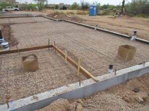
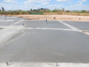
Surveys can be required or helpful in many contexts: property purchase, site planning, construction, zoning compliance, land development, and even for obtaining permits.
What Is a Boundary Survey?
A boundary survey is a more specific type of survey. The focus is on determining the precise location of the property lines (boundaries) of a parcel of land. Key elements include:
- Locating (or re-establishing) boundary lines based on recorded deeds, plats, monumentation, and Title documents
- Identifying corners, property line markers, fences, walls that define ownership
- Verifying legal descriptions
- Determining whether structures or improvements encroach onto adjacent parcels
Boundary surveys are often needed for resolving property line disputes, subdividing land, obtaining mortgages, or ensuring that structures comply with setback requirements.
Key Differences Between a Survey and a Boundary Survey
| Feature | General Survey | Boundary Survey |
|---|---|---|
| Scope | Broad: topographic features, improvements, elevations, utilities, etc. | Narrow: focused mainly on property lines, monuments, legal boundaries. |
| Purpose | Site planning, building design, environmental assessment, grading, drainage, etc. | Property ownership/legal issues, fences/setbacks, title insurance, subdivisions. |
| Legal weight | Can inform many things; may not be sufficient alone for resolving boundary disputes. | Usually used in legal, real estate, or title contexts; heavily based on deed/record evidence. |
| Deliverables | Topo maps, site plans, overall property layout, sometimes 3D data. | Plat or map showing boundary lines, monuments/corners, legal description confirmation. |
| Typical Cost & Time | More elements = more work. Often more expensive due to more data gathering (elevations, utilities, terrain). | Sometimes less expensive if only lines; but if monuments are missing or deed records are complex, cost and time can increase. |
When You Need One, or Both
Often, a property project requires both kinds of surveys (or parts of them). For example:
- Buying property: you’ll often want a boundary survey to ensure what you’re purchasing matches legal record, alongside a general survey to assess topography and features.
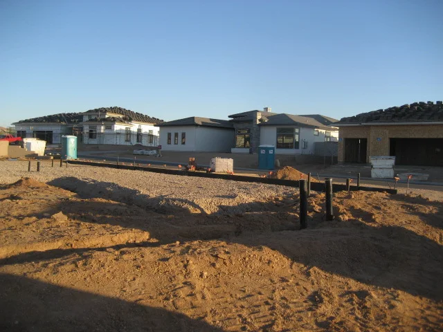
- Building an addition: you need to know boundary lines (to obey setback laws), but also elevations, existing structures, utility lines etc.
- Subdivision or lot line adjustment: boundary surveys are essential to legally adjust lines; general surveys help with terrain, utilities, and infrastructure planning.
- Dispute resolution: boundary surveys are typically the main tool; general surveys can provide context.
Why Choose Schembri Engineers for Surveys
At Schembri Engineers, we bring more than 40 years of experience in engineering, inspection, and design. Here’s what sets us apart:
- Licensed Professional Engineers: Our surveys are backed by engineers who understand both design and legal implications. (schembriengineers.com)
- Family-owned, dependable service: Since 1985, we’ve built a reputation in Arizona and Nevada for reliability, honesty, thoroughness.
- Comprehensive engineering + inspection services: We don’t just map your property — we understand how boundaries interact with utilities, structures, codes, and inspections. This holistic view helps avoid surprises down the road. Learn more about our structural design services.
- Serving Phoenix & surrounding areas: Local knowledge matters — we know Arizona’s legal, geological, environmental, and municipal standards.
If you need expert advice on which survey is right for you, call Dave Schembri at Schembri Engineers today. With decades of trusted experience, Dave and his team will guide you through every step with clarity, precision, and care.